Arriving at Buada Lagoon expecting to swim in a pristine tropical pool is a guaranteed recipe for disappointment. The reality of this endorheic lake involves murky waters and visible pollution, yet its entirely landlocked basin remains a vital piece of Nauru's geography that you should understand before visiting. This is the country's only lake - a 3.8-hectare oval depression carved from limestone - and it tells a story that promotional photography consistently fails to capture.
What Is Buada Lagoon?
Buada Lagoon sits in the Buada District in south-central Nauru, roughly 1,300 metres from the nearest coastline. It is classified as an endorheic lake, meaning rainwater flows in but nothing flows out. This makes it the only true inland body of freshwater on the island.
The lagoon measures approximately 280 metres north to south and 140 metres east to west. Maximum depth reaches around 5 metres after heavy rainfall, though the typical average sits closer to 1-2 metres. The water has a salinity of roughly 2% and a slightly basic pH of 8, which classifies it as slightly brackish water. The surrounding community of Arenibek is home to around 660 residents, making this Nauru's only permanently inhabited inland area.
The Honest Reality of the Water
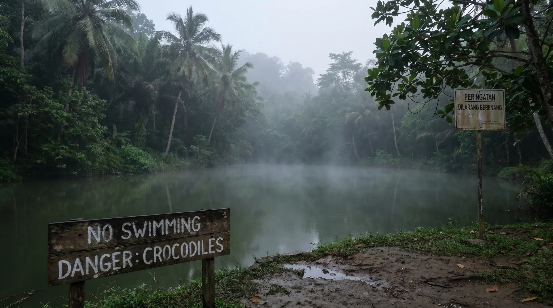
The visual reality of the lake contrasts sharply with heavily edited promotional images found online. The water surface is a murky green. The edges of the lagoon are visibly littered with plastic bottles, trash, and old barriers. The air around the immediate shoreline carries a stagnant odour, particularly on warmer days with no wind.
This condition is the result of both geography and decades of human activity. As an endorheic lake with no outflow, algae and pollutants accumulate continuously and have nowhere to go. The invasive water hyacinth (Eichhornia crassipes) now covers portions of the surface. During the 1970s, locals actively used the waters to breed milkfish, fundamentally altering the natural ecological balance of the basin.
Local scientists strictly advise against getting into the water. Despite the lagoon's potential eligibility for Ramsar Convention wetland designation, its water quality remains a genuine concern. Keep your distance from the water's edge and focus on the surrounding environment rather than the lake itself.
The fish species present today - milkfish, Mozambique tilapia, and gambusia - are largely remnants of those historical pisciculture projects. They exist as part of a highly altered, landlocked ecosystem rather than a naturally thriving one.
The Surrounding Forest: Nauru's Green Oasis
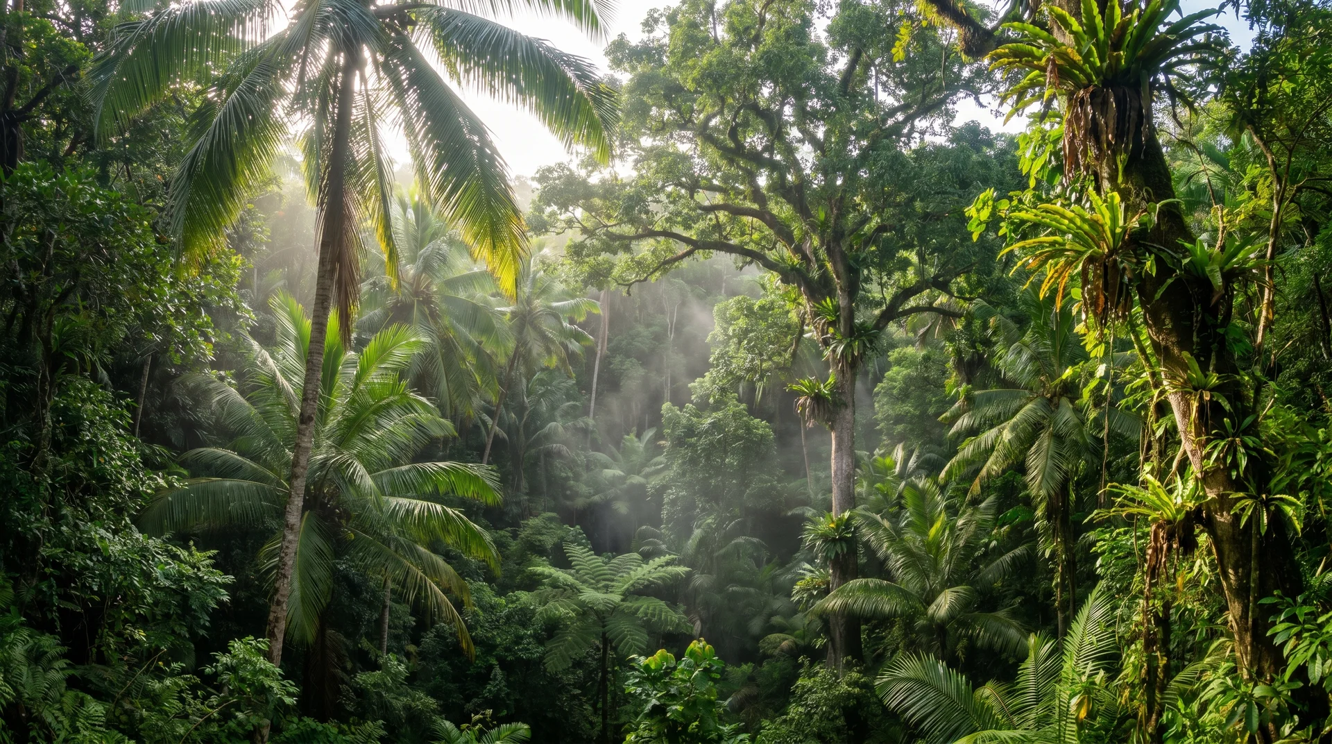
The land surrounding the water tells a completely different story. The vegetation here is incredibly dense and vibrant compared to the rest of the island. The karstic depression around the basin retains high amounts of ground moisture, creating a natural fertile zone that supports a 40-hectare forest remnant of tamanu trees, coconut palms, mango, and kapok.
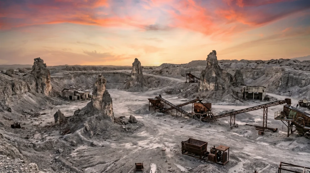
This lush perimeter is a highly unusual sight on Nauru. Decades of intensive phosphate mining stripped the central plateau of topsoil and left it barren and scarred. The Nauru Topside article covers the scale of that extraction and what the interior looks like today. Critically, the lagoon's basin is the only region of the plateau where the ore was never exploited. The Buada District survived this devastation, standing today as the only significant green oasis in the entire country.
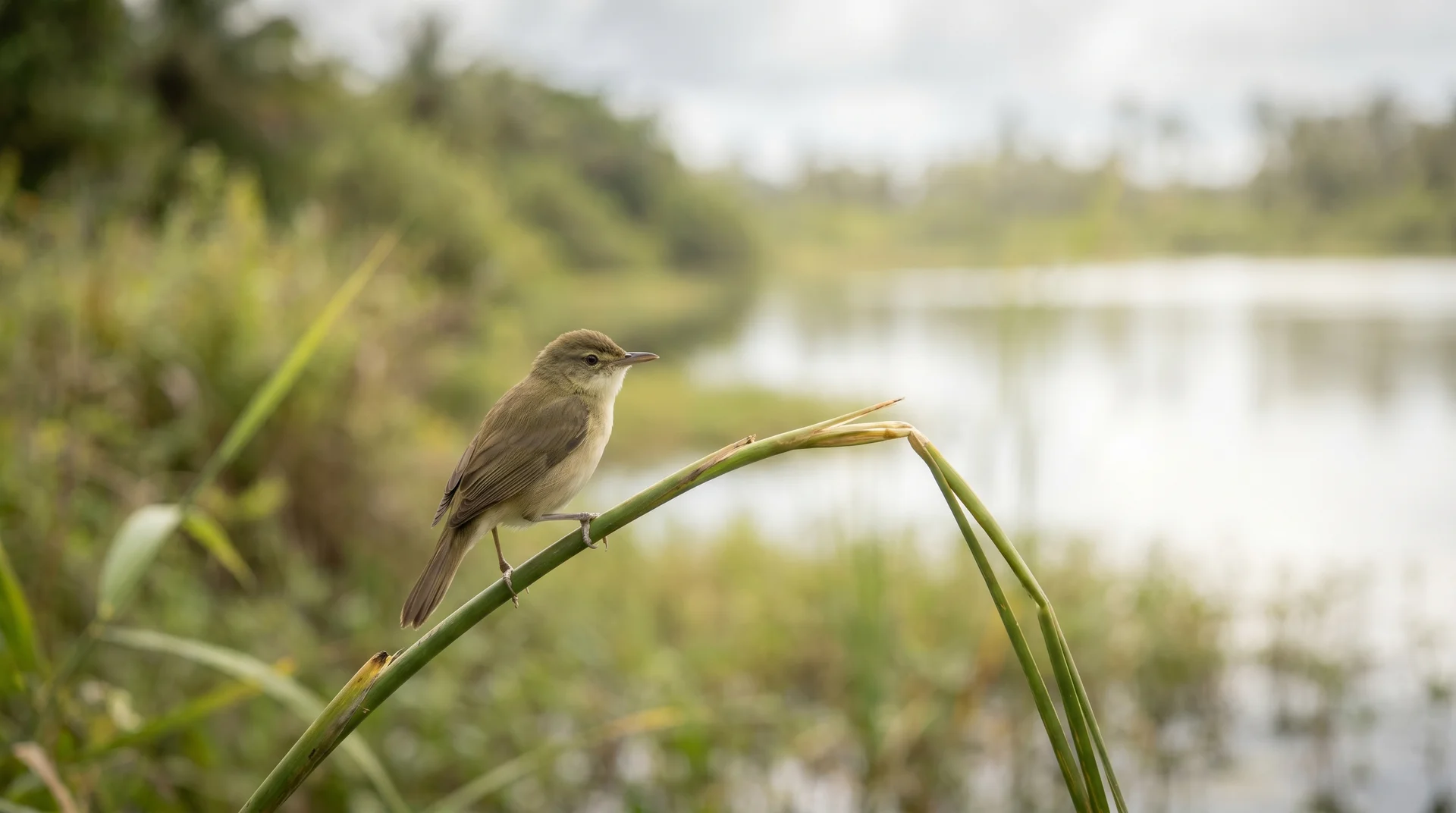
Bring binoculars and look up at the dense canopy. The thick foliage naturally attracts the Nauru reed warbler, an endemic bird species that inhabits the shrubby areas around the lagoon and exists nowhere else on Earth. The walking paths around the lagoon are among the most practical spots for wildlife observation on the island.
Best Time to Visit Buada Lagoon
The dry season from May to October offers the most comfortable conditions. Temperatures during this period hover around 25-30°C (77-86°F), which is considerably more bearable than the heat and humidity of the wet season months. For the full monthly breakdown including rainfall and trade wind patterns, see the best time to visit Nauru guide.
Within any given day, early morning visits are strongly recommended for two reasons. The softer light provides excellent conditions for photography without the harsh midday glare. More importantly, early morning coincides with peak bird activity in the forest canopy. Late afternoon is the next best option.
Avoid visiting at midday during the hotter months. The heat amplifies the stagnant odour near the water's edge and reduces bird visibility considerably.
How to Get to Buada Lagoon
Walking or Cycling from Boe and Yaren
Navigating to the lagoon from the coastal districts is straightforward. From the centre of Boe, walk east towards the main coastal road, turn left, and follow the paved route inland for about one kilometre. Take a right turn at the junction onto a smaller path to reach the shoreline area.
Renting a bicycle from your accommodation makes the trip faster and more enjoyable. The ride from the main roundabout in Boe takes just a few minutes, and traffic along the inland roads is almost nonexistent. The visiting Nauru overview covers how car and scooter rentals work across the island. From Nauru International Airport, the lagoon is only a 10-minute drive - one of the most accessible natural sites on the island.
Renting a Car in Nauru
Having a personal vehicle provides the most flexibility for exploring inland areas. The drive up to the Buada District involves narrow and winding roads that require cautious driving. Always yield to pedestrians and watch for stray animals crossing your path.
Driving in Nauru follows the left-hand side of the road. Parking near the lagoon is completely free and relatively easy, as there are no designated meters or strict parking zones. Arrange car hire in advance through your accommodation due to limited local availability.
Walking Paths Around the Lagoon
Dirt paths and small tracks trace the perimeter of the water, allowing you to explore the area entirely on foot. The terrain is flat but can become muddy after tropical rains, so comfortable walking shoes with grip are necessary.
These paths are entirely flat and suitable for most fitness levels. The full circuit around the lagoon takes 30 to 45 minutes at a relaxed pace, which leaves plenty of time to stop, listen for birds, and photograph the surrounding vegetation. The paths offer the best vantage points for viewing the forest canopy without approaching the water's edge directly.
Nearby Attractions in Nauru
Combine your inland trip with visits to other significant landmarks nearby.
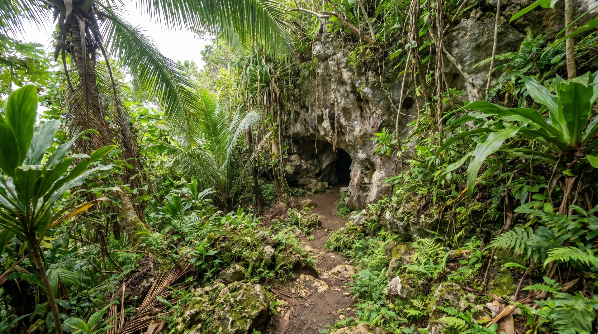
Moqua Well lies just a short distance away near the Yaren District. This underground freshwater lake - technically a sinkhole - served as Nauru's primary drinking water source during World War II. The site is fenced for safety reasons following an accident in 2001, but it remains accessible and provides a fascinating contrast to the open-air lagoon. The adjacent Moqua Caves are a series of limestone caverns worth exploring if you can arrange access.
The Nauru Museum in the Yaren District houses critical artifacts documenting the island's culture, phosphate history, and complex World War II occupation by Japanese forces. It provides essential context for understanding why Nauru's landscape looks the way it does today.
Anibare Bay on the eastern coast is widely considered the island's finest beach - a long curve of white sand backed by palm trees and the only stretch genuinely suitable for swimming and snorkelling. Visiting both the inland lagoon and the coastal bay in the same day gives you the full contrast of Nauru's two distinct natural environments.
For travellers interested in other unusual landlocked lakes, the Luminous Lagoon in Falmouth, Jamaica offers a completely different experience - bioluminescent waters that glow at night. The Blue Lagoon in Port Antonio is another striking inland-meets-ocean water body worth reading about before planning island-hopping trips. For another perspective on remote Pacific island travel, the history of Pitcairn Island provides useful context on what visiting truly isolated Pacific destinations involves.
Practical Information
- Entry: Free and open to the public at all times
- Swimming: Strongly discouraged - severe water quality issues
- Location: Buada District, southwestern Nauru
- Water type: Slightly brackish freshwater (endorheic lake)
- Best months: May to October
- Best time of day: Early morning or late afternoon
- Getting there: 10-minute drive from Nauru International Airport; short walk or cycle from Boe
- Parking: Free, no designated zones
- What to bring: Binoculars for birdwatching, walking shoes, insect repellent