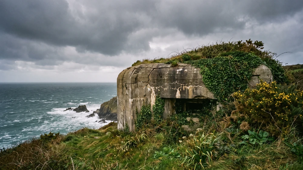
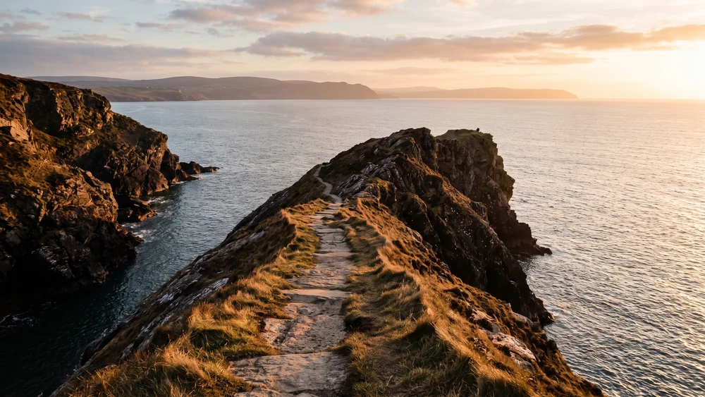
Navigating Sark's rugged coastline requires more than just a free tourist map, especially when a poorly timed hike leaves you stranded by the tide at a hidden bay. Understanding the exact physical toll of the cliff paths and the precise tide windows separates a frustrating scramble from a perfect island exploration.
- Terrain Difficulty: High in spots. Sturdy footwear is mandatory; avoid sandals on steep cliff descents.
- Tide Dependency: Crucial. Access to tidal pools and sea caves is strictly limited to two hours either side of low water.
- Facilities: None on the remote trails. Stock up on water and provisions at Food Stop on the Avenue before heading to the coast.
- Transport: No cars allowed. Bicycles must be walked across the La Coupée isthmus.
Window in the Rock: The 1853 Victorian Viewpoint
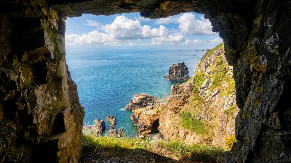
Carved through the solid cliff face in 1853 by an eccentric Seigneur purely for the aesthetic, the Window in the Rock offers a dizzying, framed vertical drop straight down to the sea. The sheer scale hits you immediately. Stepping up to the unbarricaded opening requires a bit of nerve. The sweeping view over the western coastline makes the slight vertigo entirely worthwhile.
Finding the Tunnel to Port du Moulin
The woodland walk leading to the viewpoint is well-shaded and relatively flat. From the Window, the path down to Port du Moulin opens up. The descent to the pebble beach involves careful footwork over uneven ground.
At half to high tide, the swimming here is excellent. Catch it at low tide, and you can scramble through the sea arch towards Saignie Bay to explore an old shipwreck. Keep a close eye on the tide table, as the water rises incredibly fast against the sheer cliffs.
Just south of the Window sits Tintageu, a prominent rocky outcrop jutting into the sea. Taking the path up and over its summit reveals a flat, sheltered space roughly the size of a double bed. It is the ultimate spot for a sunset picnic looking out over Herm and Guernsey. The sheer drop on the edge of this platform demands extreme caution. Once the sun goes down, the same exposed platform doubles as a fine perch for stargazing on Sark, far from any village light spill.
Dixcart Bay: The Hidden Waterfall and the "Shady Path"
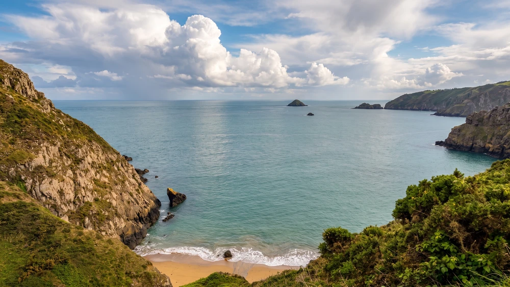
Dixcart is heavily promoted as the most accessible beach on the island, naturally drawing the majority of the summer crowds. The standard route down via the "Sunny Path" past Caragh Chocolates is scenic. The real magic, however, lies on the opposite side of the valley.
How to Access the Beach Away From the Crowds
Instead of following the main trail, look for the second pathway on the left through the forest as you walk up from Dixcart Bay. About halfway up the hill, a sharp right turn puts you onto the "Shady Path." This elevated, unmarked route traces the upper rim of the Dixcart Valley, looking straight down on the regular walkers below. The atmosphere here feels dense and wild, eventually dropping you right at the Dixcart Hotel and Hugo's Bar.
Down at the bay itself, a small freshwater waterfall flows straight out of the dense forest, washing directly over the pebbles. It is incredibly convenient for rinsing off salt and sand after a deep-water swim. The natural rock arch and caves provide deep shade during the midday heat. The water stays flat and calm for swimming unless the wind blows hard from the south or east.
Sark Henge: Managing Expectations for the 2015 Monument
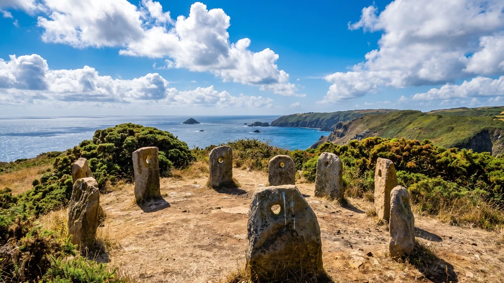
Wandering the southern cliff paths past Derrible Bay, you eventually spot a circle of standing stones framing the horizon. Without an information board in sight, it feels incredibly ancient. It actually dates back to 2015. Built to commemorate the 450-year anniversary of Queen Elizabeth I granting the Fief of Sark to Helier De Carteret, it is a brilliant modern installation rather than a Neolithic wonder.
The 450-Year Anniversary and the Coastal Views
The nine Jersey granite stones represent the original medieval territories of the island. They feature distinct "one-eye giant" holes, originally used by early settlers as horizontal gate hinges, hence the name "henge." While the stones stand less than a meter high, their placement is mathematically precise.
They align perfectly with solstices, equinoxes, and neighboring landmarks like Alderney and St Ouen. Sit on the central stone granary disc. The unobstructed, sweeping view of the emerald water and jagged coastline is the real reward of this headland walk.
La Grande Grève: The 360-Step Challenge
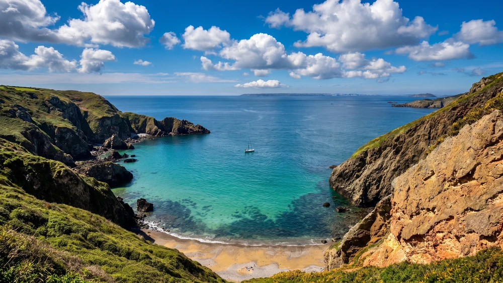
Sark's largest expanse of sand sits directly below La Coupée, the dramatic, narrow isthmus connecting Great and Little Sark. The visual from the top railings is striking. The physical reality of getting down there involves 360 steep, uneven steps carved straight into the cliff face.
Safe Swimming and Tides
The descent requires solid balance and patience. Once at the bottom, the wide sandy beach and crystal-clear water make the burn in your thighs fade fast. The extensive rock pools offer endless exploration at low tide.
The bay is naturally sheltered by the towering cliffs above, allowing for glorious, calm swimming. Just remember that every single step you took down, you have to climb back up. Time your ascent for the late afternoon when the cliff shadow provides a much-needed break from the sun.
Practical Navigation Tips for the West Coast Route
Sark's west coast is dramatic, exposed, and entirely uncommercialized. Walking the trails here means leaving the safety net and amenities of the village entirely behind, so brushing up on the island's car-free transport and terrain basics before you set out pays off. Most walkers tackle this ground on a full day trip rather than squeezing it into the brief window a Sark ferry day return allows, so budget accordingly.
Footwear, Tides, and Safety
Swap the beach sandals for proper walking boots. The dried mud on the steep gullies around L'Eperquerie and the rocky scrambles near the southern tidal pools get notoriously slippery, even in dry weather.
Always check the physical tide boards in the village before attempting to access sea-level caves. The window for safe exploration is usually strictly limited. Getting caught by an incoming tide on a narrow beach with zero cell phone reception is a genuine risk that catches out unprepared walkers every season.