La Soufriere volcano stands at 1,234 meters above the northern end of St. Vincent, making it the highest point in the island chain. The 2021 eruption reshaped the landscape dramatically, and hiking it today means navigating raw post-volcanic terrain under strict safety regulations.
This guide covers everything you need to know for a successful summit in 2026, including trail conditions, the 2026 entrance fee, and the mandatory guide rule.
The Post-2021 Eruption Reality of La Soufriere
The northern landscape of St. Vincent remains a testament to the sheer power of the 2021 volcanic activity. Pyroclastic flows and heavy ash deposits stripped the upper elevations of their lush green canopy, leaving behind a stark, Martian environment of gray rock and deep volcanic fissures.
Erosion is highly active on the upper slopes, with heavy tropical rains regularly altering the footing and creating deep gullies where solid paths once existed. The summit crater itself expanded significantly during the explosions, creating steeper, less stable rim sections that require absolute caution.
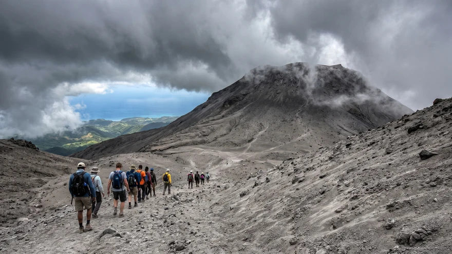
Vegetation is slowly returning to the lower elevations, but the final third of the climb exposes you to open, windswept terrain dominated by loose scree and shifting volcanic ash.
How the Crater and Trails Changed
The 2021 eruptions wiped out previous trail markers and blanketed the upper slopes in unstable ash. Deep gullies now cut across sections where solid paths once ran. The summit rim is wider and less defined than before, requiring hikers to stay close to their guide at all times on the upper approach.
The Mandatory Certified Guide Rule for Foreigners
The Government of St. Vincent and the Grenadines enforces a strict safety policy requiring all international visitors to hike with a certified local guide. This regulation protects hikers from active environmental hazards and supports the local economy in recovery.
Authorized guides monitor daily seismic reports, track real-time weather patterns at the summit, and know where the footing has washed away after recent rainstorms. Book your guide at least 48 hours in advance through the St. Vincent and the Grenadines Tourism Authority or established local forestry-certified operators.
Expect to pay between $80 USD and $150 USD per person depending on group size and transportation logistics, with official permits handled directly by your guide.
How to Book an Official St Vincent Guide
Contact the St. Vincent and the Grenadines Tourism Authority directly or arrange a certified operator through the National Parks Authority. Many guides also handle round-trip transport from Kingstown, which saves considerable coordination on the day of your hike.
If you prefer to book a fully packaged guided hike in advance, Guided La Soufriere volcano tours are available online with verified local operators.
Trail Entrance Fee (2026)
Since February 1, 2025, the National Parks, Rivers, and Beaches Authority (NPRBA) charges a trail user fee for the La Soufriere Windward Trail.
- Non-nationals: US$5
- Nationals (Caribbean visitors): EC$5.00
Payment is collected at the National Parks Authority Office (Jaycees Building, Stoney Grounds) or at Black Point Heritage and Recreation Park Site. Trail operating hours are 7:30 AM to 3:30 PM.
Windward vs. Leeward Trail: Which Route to Choose?
Two distinct paths lead to the summit of La Soufriere, each offering completely different terrain, difficulty levels, and scenic viewpoints across the island.
The Windward Trail (Eastern Route)
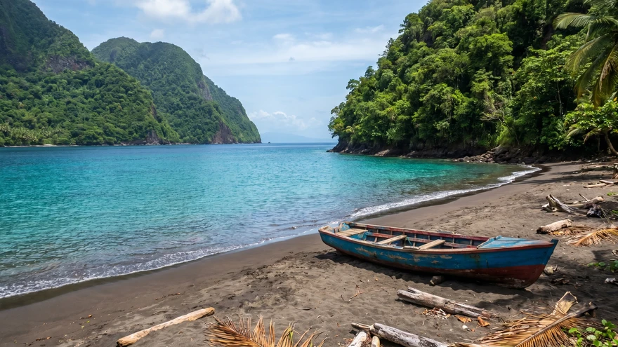
The Windward Trail starts near Sandy Bay on the eastern coast and stands as the most popular, well-maintained route to the crater. The path begins by crossing the Rabacca Dry River, a massive channel carved deeper by 2021 lahars and volcanic mudflows.
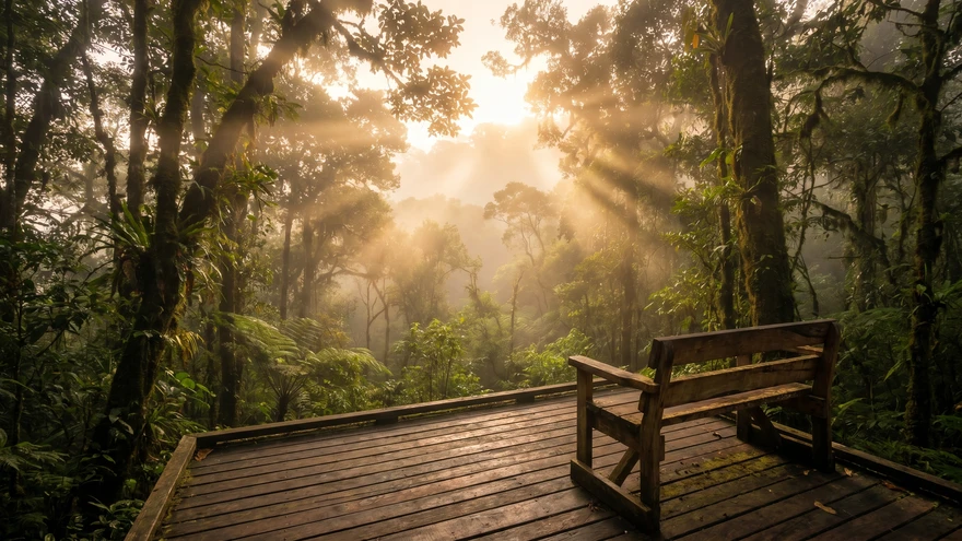
The initial incline leads you through bamboo groves and regenerating cloud forest before emerging onto the exposed volcanic spine. The footing here consists of packed earth and gravel transitions into loose ash, demanding strong ankle stability but offering a more straightforward ascent than the western alternative.
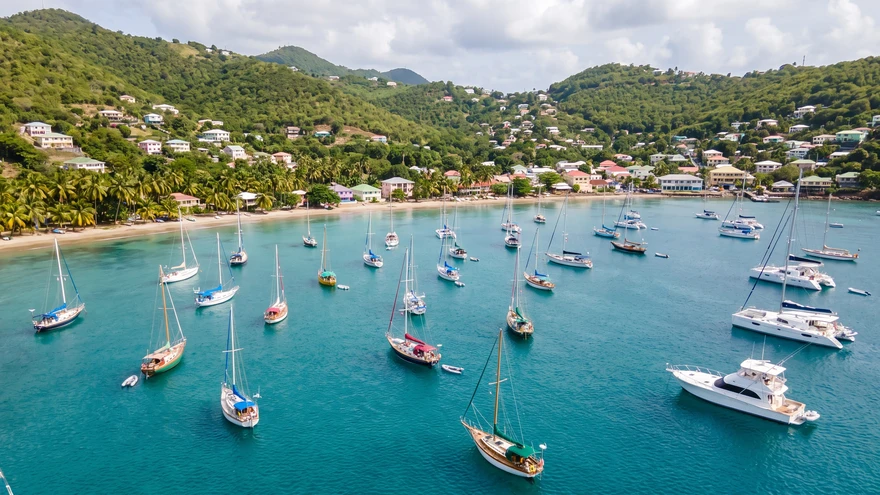
The trailhead is approximately 26 miles from Kingstown (about 1 hour 20 minutes by road). A visitor's centre, gazebos, restrooms, and parking are available at the trailhead. If you are also exploring the wider eastern Caribbean, our article on hiking in Grenada covers a similar post-volcanic trail experience on the neighboring island.
The Leeward Trail (Western Route)
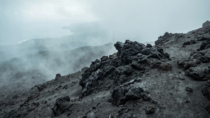
The Leeward Trail, accessed via Richmond Vale on the western side of the island, remains severely impacted by the 2021 eruption and is currently classified as extremely strenuous. This route presents significant overgrowth, washed-out sections, and steep vertical scrambles over volcanic debris.
The leeward trailhead sits approximately 40 miles from Kingstown (around 2 hours by road). Only highly experienced hikers with excellent physical stamina should attempt this western approach, as it requires navigating dense jungle recovery and unmaintained ridges.
What to Expect at the Summit
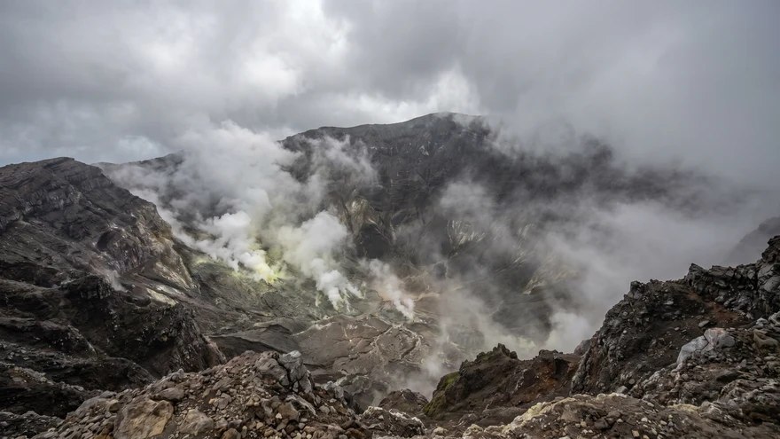
Reaching the rim brings you face-to-face with a massive, steaming abyss that smells heavily of sulfur and volcanic gases. Fumaroles along the crater floor continuously vent steam, creating an eerie, primordial atmosphere as the clouds shift across the opening.
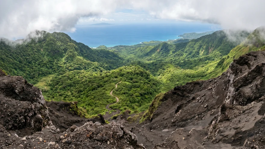
On rare, clear mornings, the summit offers panoramic views extending across the Caribbean Sea to the neighboring islands of Bequia and St. Lucia. Clouds typically roll in by midday, dropping visibility to a few meters and causing the temperature to plummet rapidly in the high winds.
This is why an early start - ideally by 7:00 AM - is critical for a clear summit view.
Essential Gear for the Tropical Ascent
Gear selection directly affects your safety and comfort on this hike. Standard running shoes or light sneakers fail completely on the slick, steep mud and sharp volcanic rock.
- Footwear: Broken-in hiking boots with deep lugged soles are mandatory to prevent slips and twisted ankles on the shifting ash fields
- Jacket: A lightweight, breathable waterproof jacket is essential for sudden tropical downpours and the cold summit wind
- Water: Bring a minimum of three liters per person - no glass bottles permitted on the trail
- Food: High-energy snacks for the full 5 to 7-hour round trip
- Pack: A secure backpack to keep both hands free for balance during the steep upper scrambles
- Extras: A walking stick (many guides provide these) and sun protection for exposed upper sections
How to Get to the Trailhead
The journey to the Windward trailhead requires driving north from Kingstown along the Windward Highway toward the Rabacca area. The drive takes approximately 90 minutes across winding coastal roads and agricultural valleys.
Most hikers arrange round-trip transport directly through their certified guide, ensuring a seamless early-morning arrival before the midday heat and summit clouds set in. If you are exploring St. Vincent independently, Book a guided hike with transport included to avoid logistics complications on an early start day.