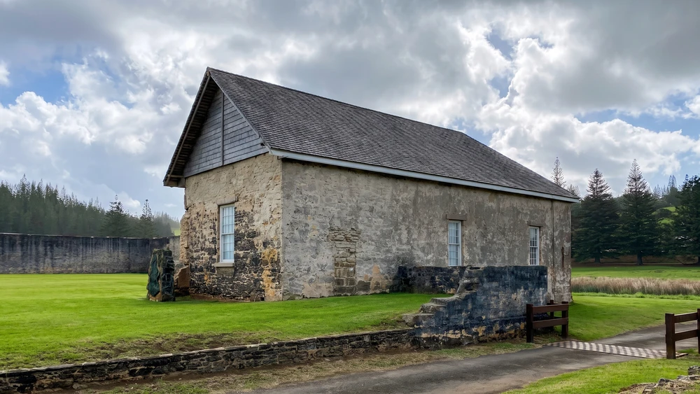
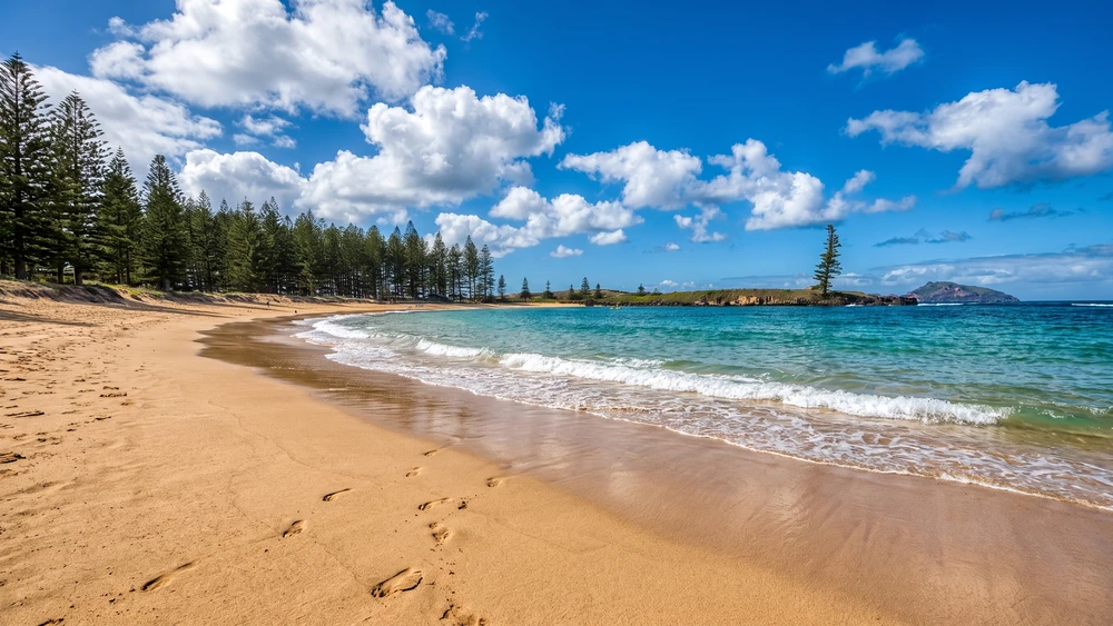
Hitting the trails right after a tropical downpour turns the steep, clay-rich paths of Norfolk Island into a slippery hazard. Planning your hikes around the island's unique microclimate and utilizing the mandatory boot-cleaning stations are non-negotiable steps before you even attempt to spot a rare Green Parrot.
- Total trails: 10+ self-guided tracks (ranging from 90m to 1.7km)
- Entrance fee: Free
- Park hours: Open 24/7 (best visited between dawn and dusk)
- Terrain: Subtropical rainforest, steep coastal cliffs, dirt, and clay paths
- Essential gear: Sturdy hiking boots, trekking poles (crucial for coastal descents), and insect repellent
Essential Tips Before Hiking on Norfolk Island
Using Boot Cleaning Stations to Protect Flora
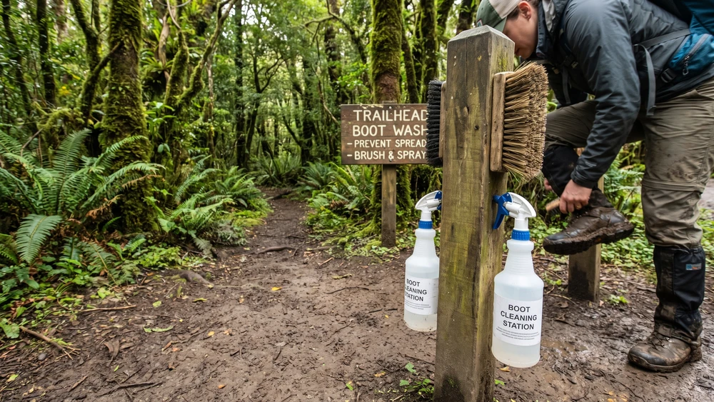
The island's extreme isolation has created a highly sensitive ecosystem. At the start of major trails, you will notice dedicated boot-cleaning stations. Scrubbing your soles and disinfecting your boots before stepping into the forest prevents the spread of Phytophthora (dieback disease) and invasive seeds. It takes thirty seconds, but it is the single most important action to keep the endemic tree ferns thriving.
Weather Conditions: Why Hiking Poles Matter
Norfolk Island's weather shifts rapidly. A brief morning shower leaves the dense forest tracks intensely humid, and the clay paths become highly slick. Pack trekking poles, especially if you plan to tackle the steep coastal descents. The thick forest canopy blocks much of the ocean breeze, making the inland air thick, sticky, and sweat-inducing on warmer days.
Top Walking Trails in Norfolk Island National Park
With the individual tracks combining into over nine kilometers of interconnected paths, you can easily link several short walks into a half-day trek. Pick up a map from the visitor center to map out your loops, or download the official walks map from the Parks Australia website before you arrive, since phone signal disappears once you're under the canopy.
Mount Pitt to Mount Bates: The Summit Track
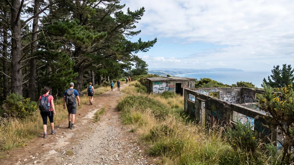
This 660-meter ridge walk connects the island's two highest peaks. Park your rental car right at the Mount Pitt lookout to catch a sweeping 360-degree view across Kingston and the southern islets. The trail from here to Mount Bates is a steady, grassy path lined with stately Norfolk pines. Along the way, WWII radar station ruins emerge quietly from the undergrowth.
Palm Glen Circuit: Best for Green Parrot Spotting
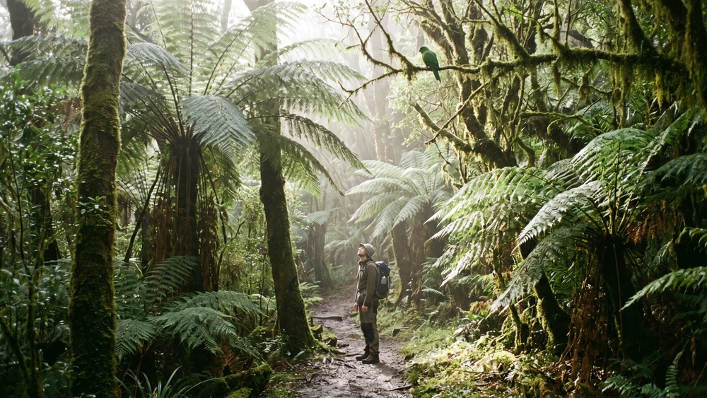
Tucked at the end of Selwyn Pine Road, this lush gully feels like stepping into a prehistoric landscape. Towering tree ferns and rare endemic Norfolk palms crowd the 910-meter Palm Glen Link Track.
Walk this path early in the morning or late in the afternoon. Move quietly and listen for the distinct "kek-kek-kek" call of the endangered Green Parrot foraging high in the canopy. The Rainforest Gully Circuit inside the Botanic Garden offers a shorter, easier alternative if you want a second chance at spotting the parrots without the longer walk.
Bridle Track to Captain Cook Lookout
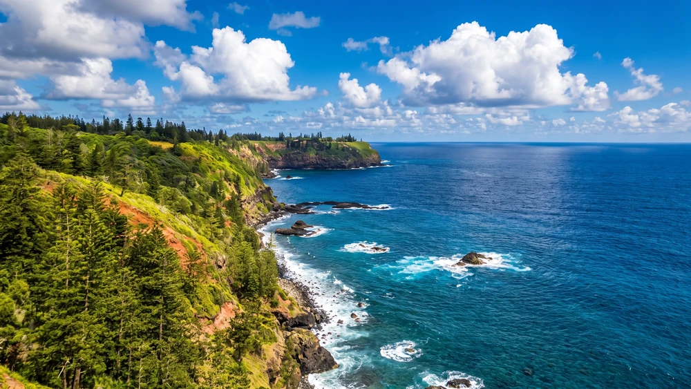
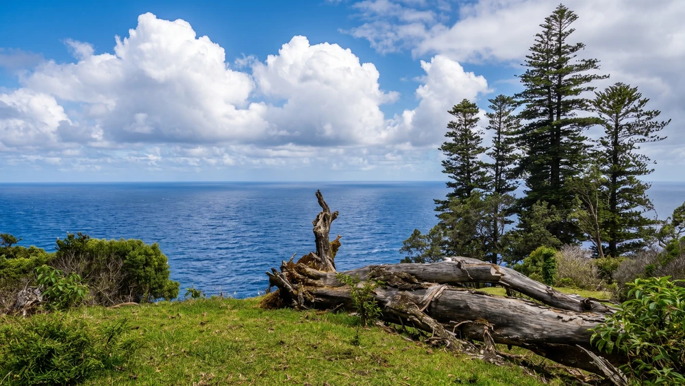
A 1.7-kilometer winding path tracing the northern coastline. The terrain drops away dramatically, revealing sharp coastal cliffs and nesting seabirds. Start at the Captain Cook Monument and weave through white oaks and coastal vegetation. The ocean breeze here provides a welcome, refreshing cool-down after the sheltered inland forests.
Hundred Acres Reserve: The Easiest Coastal Walk
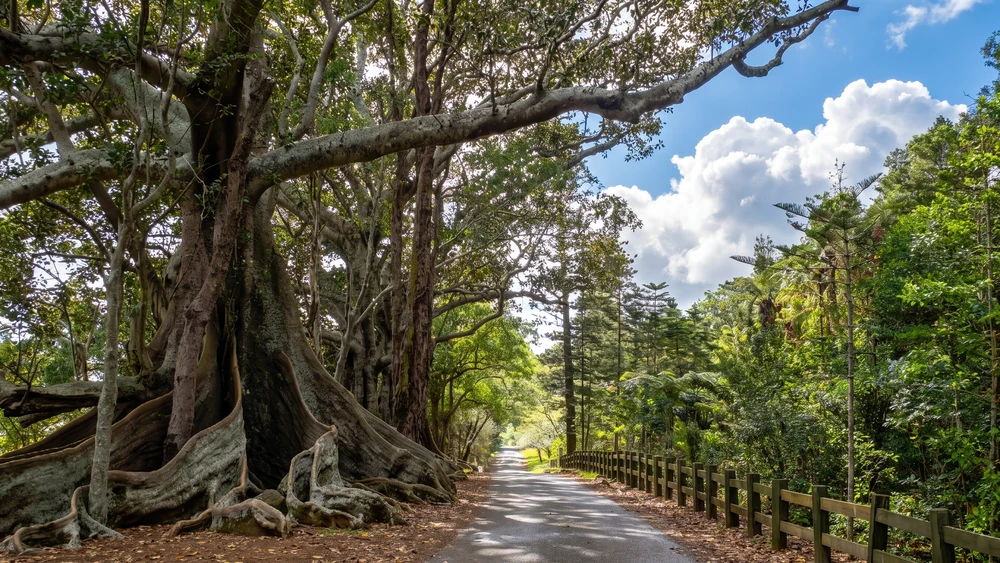
If your legs are tired from the steeper tracks, Hundred Acres Reserve is the island's gentlest introduction to its coastal scenery. Regular visitors recommend starting at the smaller of the two entrances so you descend the steep section first rather than climbing it at the end. The loop takes roughly 20 to 30 minutes and winds through a mix of habitats, from towering Moreton Bay fig trees lining the entrance road to stands of Norfolk pines opening onto sheer, unfenced cliffs.
Come during nesting season and you will hear more muttonbirds than you see, tucked into simple ground burrows just off the path. White Terns and Masked Booby chicks are also common along the cliff edge, and a couple of benches let you sit and watch the seabirds ride the air currents. The reserve was fenced off from grazing livestock roughly 130 years ago, and local volunteers have maintained the native habitat ever since. Paths turn slippery after rain, so sturdy shoes still matter even on this easier walk.
Queen Elizabeth Lookout: A Drive-Up Panorama
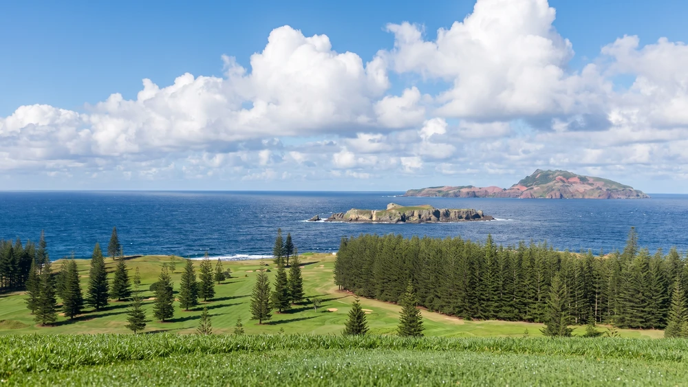
Not every great view on Norfolk Island requires a hike. Queen Elizabeth Lookout sits at the end of a short drive and delivers one of the widest panoramas on the island, taking in Kingston, the golf course, and Phillip and Nepean Islands offshore. A plaque commemorates a 1974 royal visit, and the small fenced reserve has picnic tables, safe car parking, and coin-operated binoculars for a closer look at the neighboring islands.
On a clear day the view stretches over Emily Bay, Slaughter Bay, and the KAVHA convict settlement below, making it a practical stop to orient yourself before or after visiting Kingston. Bring a picnic and time your visit for late afternoon light if you want the best photos of the coastline.
Bird Rock Track: A Steep Coastal Challenge
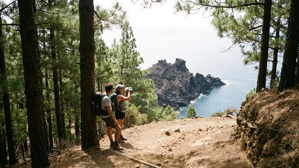
Branching off the Bridle Track, this 760-meter descent is steep, rugged, and requires solid footwear. The path drops sharply through pine forests down to a prime vantage point overlooking Bird Rock. The climb back up will heavily test your calves. Consider looping back via the Red Stone Link to bypass the absolute steepest sections of the return ascent.
Spotting Endemic Wildlife and Rare Flora
Beyond the iconic Green Parrot, the park acts as a sanctuary for the rescued Morepork Owl and over 40 endemic plant species. Look closely at the damp forest floor to spot some of the 60 species of endemic snails. Feral fowl also roam the lower sections of the park, a quirky and noisy reminder of the island's layered history.
Keep an eye out for White Terns and Black Noddies balancing their eggs bare on the horizontal branches of the Norfolk pines without building nests. If you want an expert-led introduction before setting off alone, free ranger-guided walks run from the Botanic Garden on Monday afternoons and are a good way to learn to identify species you'll later spot solo.
How to Get There & Parking Advice
The island is small enough that no trail is more than a 15-minute drive from the main settlement of Burnt Pine.
- Mount Pitt: Drive all the way up Mount Pitt Road. The car park sits right at the summit, making it a zero-effort starting point for the 360-degree lookout and the Summit Track.
- Captain Cook Monument: Ample parking is available at the end of Duncombe Bay Road. This spot offers immediate access to the Bridle Track and features well-maintained public BBQ facilities, toilets, and picnic shelters.
- Palm Glen: Accessed via the unsealed end of Selwyn Pine Road. The parking area is heavily shaded by the canopy, but spaces are limited, so arrive early during the peak summer months.