Missing the right starting point for the Gibraltar fortifications walk can turn a historical highlight into an exhausting uphill trek under the Mediterranean sun. Beginning your route at Grand Casemates Square ensures you follow the natural flow of the defensive lines without wasting energy on poorly connected backtracking.
- Start Point: Grand Casemates Square
- End Point: Charles V Wall Steps
- Total Duration: 1.5 to 2 hours
- Difficulty Level: Moderate (steep vertical staircase at the end)
- Access Fee: Free
The Ultimate Gibraltar Fortifications Walking Itinerary
Navigating centuries of military engineering requires a clear structural path. This specific route connects the northern land defenses directly to the southern boundaries, tracking how successive empires modified the Rock, a layered history covered in more depth in our Gibraltar essentials overview. Sturdy walking shoes are absolutely essential, as the final stretch involves a demanding vertical climb up the cliff face.
Grand Casemates Square and the Cradle of History
Grand Casemates Square serves as the historic northern entry point, heavily fortified to repel land assaults from the isthmus. Right near the square, the Cradle of History exhibit provides immediate context on how these limestone walls transitioned from Moorish strongholds to British artillery positions. You can view early defensive layouts here before entering the darker subterranean sections.
Landport Tunnel and the Great Sortie
The Landport Tunnel represents the oldest historic land entrance into Gibraltar, surviving multiple brutal sieges over hundreds of years. Walking through this narrow stone passage reveals the exact path where British and Hanoverian troops executed the Great Sortie in 1781 to destroy advanced Spanish positions. The heavily scarped slopes outside the gate show exactly why invaders found this bottleneck impossible to breach.
The Line Wall Route to Southport Gates
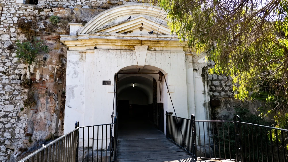
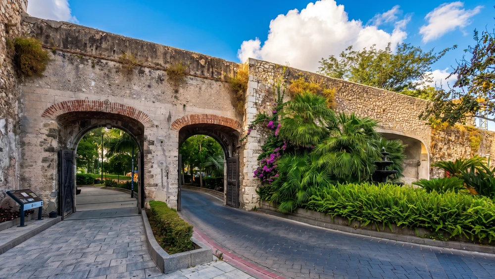
Moving south along the Line Wall showcases how modern land reclamation pushed the sea back from the original medieval battlements. You eventually reach the Southport Gates, a complex of three distinct arches built into the ancient Charles V Wall. Each arch represents a completely different era of Gibraltar's history.
The earliest gate, originally called the Africa Gate, dates back to 1552 and bears the ornate Royal Arms of Holy Roman Emperor Charles V. Right next to it stands the New Southport Gate, added in 1883 to accommodate Victorian era traffic, complete with an embedded rifled muzzle loading gun just inside the wall. The widest arch, the Referendum Gate, was built in 1967 to commemorate the historic vote where Gibraltarians overwhelmingly chose to remain under British rule.
The Southport Ditch and Trafalgar Cemetery
Directly outside the gates lies the **Trafalgar Cemetery**, which occupies part of what was once the Southport Ditch. This massive defensive trench protected the southern wall from infantry assaults before being partially filled. Today the space is entirely free to enter and provides a quiet, shaded area containing the graves of sailors who died in the Battle of Trafalgar, open daily from sunrise to sunset. Local bus routes 2, 3, 4, 9 and 10 all stop within a short walk of the cemetery gate if you want to skip the return climb on foot.
Charles V Wall Staircase and Summit Route
The final and most physically demanding segment of the route takes you up the Charles V Wall. Engineered by Giovanni Battista Calvi in the 1540s, this massive barrier was designed specifically to halt terrifying Barbary pirate raids from the south. The wall climbs directly up the steep slopes of the Rock, forming a monumental staircase. Climbing these steps provides unmatched views of the bay and demonstrates the sheer scale of Gibraltar's defensive perimeter.
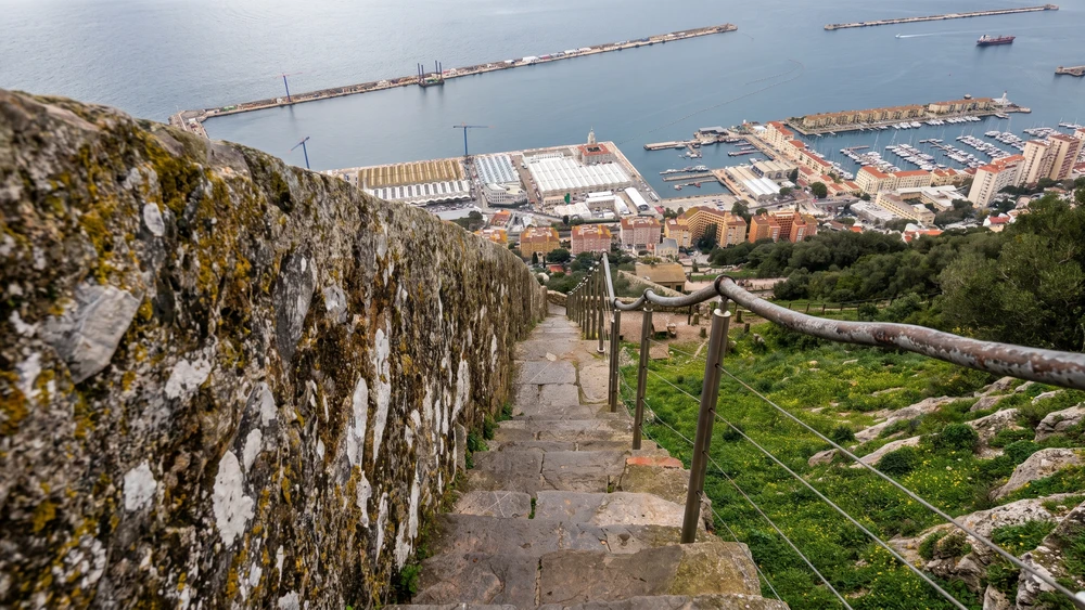
Once you reach the top, the staircase connects directly into the Upper Rock Nature Reserve, and hikers looking for an even longer trail day often continue on to the Mediterranean Steps hike from there.