Drivers often treat the R44 merely as an alternate transit to Hermanus, only to face unpredictable gale-force crosswinds and sheer cliff drops without knowing the actual safe pull-over zones. Navigating this 48-kilometer coastal stretch requires more than just a full tank; it demands timing your stops to avoid aggressive baboon troops and catching the southern right whales breaching right below the blind corners.
- Total distance: 48 km (Gordon's Bay to the R43 intersection)
- Average drive time: 45-60 minutes non-stop, 3+ hours with viewpoints
- Toll fees: Free
- Road conditions: Tarred, extremely winding, heavily exposed to coastal winds
- Primary hazards: Rockfalls after heavy rain, cyclists on blind corners, baboons on the tarmac
Why the R44 Rivals Chapman's Peak
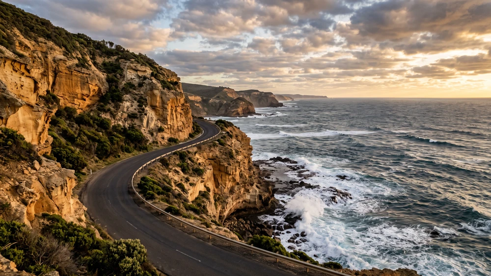
Everyone flocks to Chapman's Peak and pays the premium toll, entirely missing the longer, wilder alternative across False Bay. Clarence Drive cuts right through the heart of the Kogelberg Biosphere Reserve. The asphalt hugs the Hottentots Holland mountains tightly, leaving zero buffer zone.
To your left, vertical sandstone cliffs dominate the skyline; to your right, the crashing waves of False Bay carve into the shoreline. You get four times the driving distance of Chapman's Peak without paying a single Rand in toll fees. The viewpoints are paved, expansive, and angled perfectly to catch the sunset over the Cape Peninsula in the distance.
The road itself has history worth knowing before you drive it. Construction started in 1940, and Italian prisoners of war finished the route during World War II. The Western Cape government reopened a rebuilt section in 1998 after years of rockfall damage, and the mountain face above the tarmac is still actively monitored today.
Essential Stops Along the Coastal Route
Gordon's Bay to Rooiels: The Cliffside Stretch
Leaving the retro seaside town of Gordon's Bay, the road immediately elevates into sharp switchbacks. Pull over at the designated gravel viewpoints on the ocean side early on. You cannot cross the solid white line on the return trip to access them safely.
Kogel Bay (Cool Bay) marks the midpoint of this stretch. The surf here is notoriously heavy, making it a hotspot for experienced boarders. The rip currents are far too dangerous for casual swimming, but the long stretch of white sand and the coastal caves provide an excellent spot to stretch your legs.
Pringle Bay & Betty's Bay: Stony Point Penguins
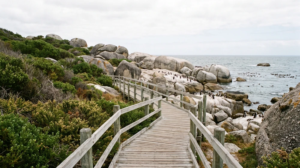
Skip the massive tourist crowds at Boulders Beach and head directly to the Stony Point Nature Reserve in Betty's Bay instead. The African penguin colony here is larger, the wooden boardwalks are much quieter, and the entry fee is significantly cheaper than Boulders.
Just up the road, the Harold Porter Botanical Gardens sit tucked against the mountain slopes. The contrast between the arid coastal fynbos near the highway and the lush, waterfall-fed gorge inside the gardens is striking. It offers a completely different microclimate just five minutes off the main road.
Kleinmond to Hermanus: Entering the Whale Coast
Kleinmond serves as the last major coastal town on the R44 before the road bends inland towards the Bot River lagoon. Once you connect to the R43 through Vermont, the drive flattens out considerably.
Arriving in the town square of Hermanus requires a bit of logistical awareness. Parking requires physical tickets from municipal attendants walking the streets in high-visibility vests. Automated self-service machines do not exist here, and leaving your car without a manual ticket will result in a quick fine.
Driving Safety and Road Conditions
This is not a road for cruise control or distracted driving. The bends are sharp, and the camber frequently shifts as the road wraps around the natural mountain contours.
- Wind factor: The South-Easter funnels through the coastal bays at gale force. High-profile vehicles and motorcyclists need to grip the wheel firmly, especially when emerging from the sheltered coves into exposed stretches.
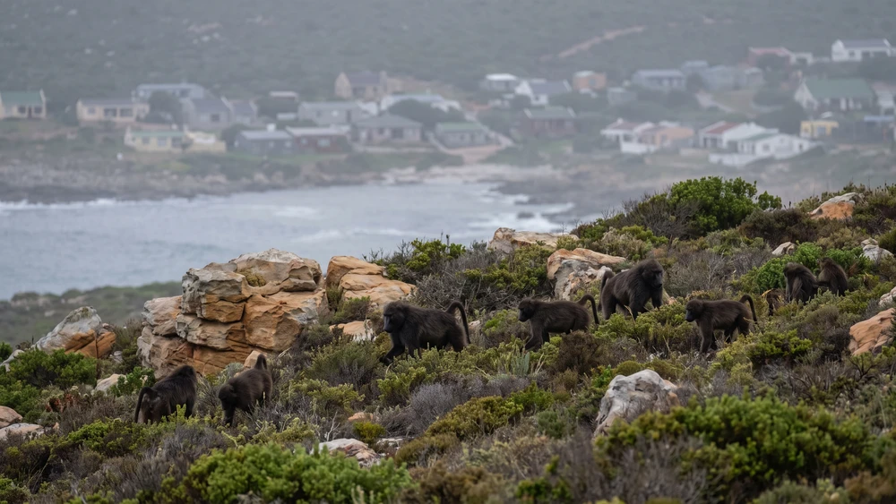
- Wildlife: Baboons treat the warm tarmac as a lounge area. Keep your windows fully closed when driving through troops, lock your doors, and never throw food out the window.
- Blind spots: Cyclists frequently use this route on weekends, heavily relying on the narrow shoulders. Hug the center line on blind left-hand sweeps to give them adequate space.
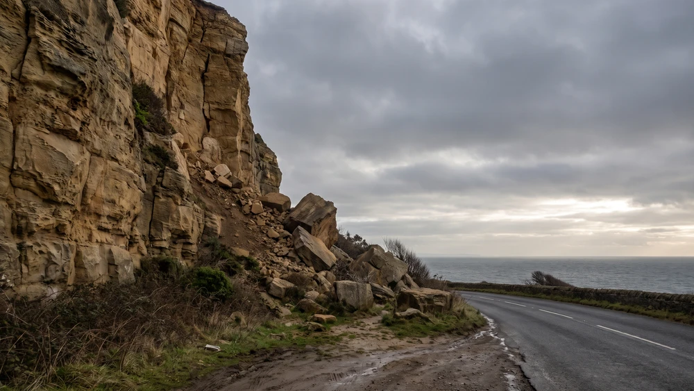
- Rockfalls: The mountain face is highly susceptible to rockfalls immediately following heavy winter rains. Keep your eyes on the tarmac for debris in the lane.
Because the cliffs above Rooiels sit on an active rockfall zone, sections of the R44 are occasionally placed under stop-and-go traffic control after heavy rain, and the road can close entirely during severe storms. Check the Western Cape mountain pass status or the Overstrand Municipality traffic updates the morning you plan to drive, particularly during the winter rainy season from June to August.
Best Time to Visit for Whale Watching
If your end goal is spotting the southern right whales directly from the Hermanus cliff paths or the R44 viewpoints, timing is everything. The migration window opens in July and closes by late November. Peak calving season hits in September, turning Walker Bay into a massive marine nursery.
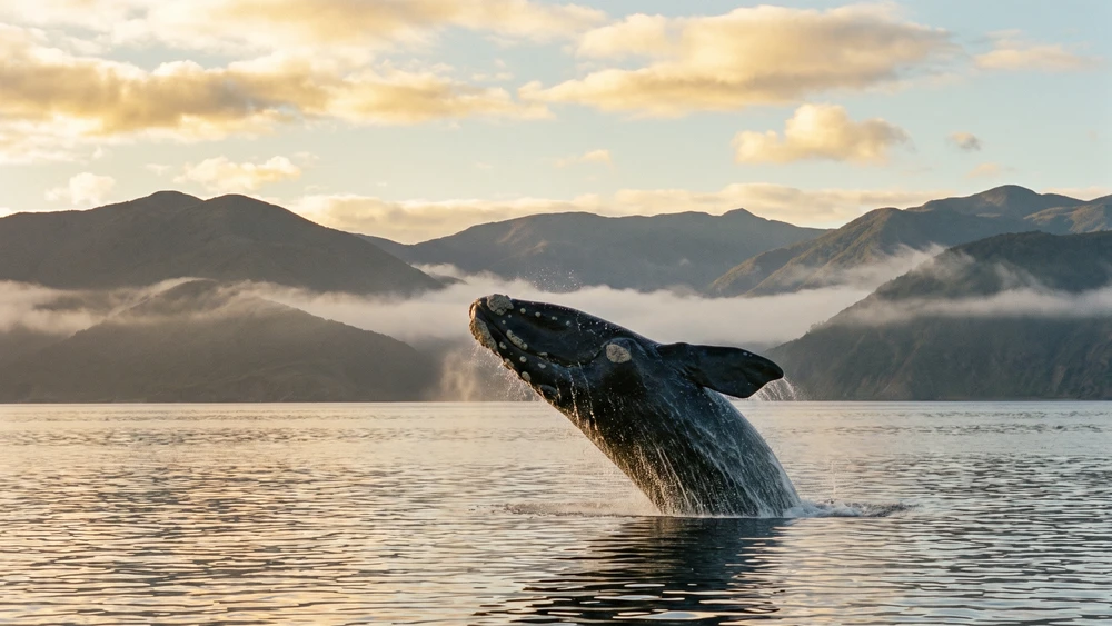
Drive this route early in the morning if possible. The sun rises behind the mountains, leaving the ocean surface free of harsh glare. This makes it much easier to spot the telltale white water spouts and dark shadows resting just beyond the breakers.