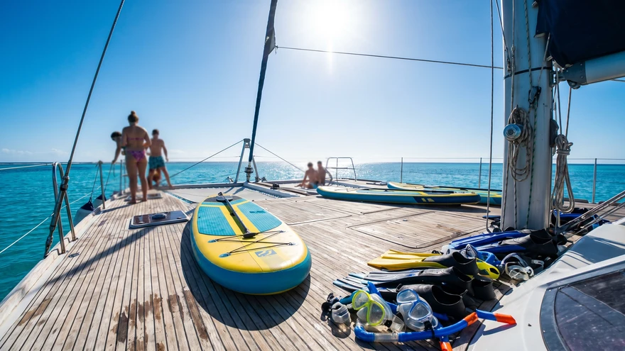
Planning an island-hopping trip through St. Vincent and the Grenadines based on generic Caribbean weather forecasts often leads to disrupted sailing routes and sudden tropical downpours. A common mistake is treating this diverse archipelago as a single, uniform climate block. Local topography dictates completely different rules for the main island compared to the southern cays.
- Peak Months: December to April (Dry and cooler)
- Hurricane Risk Window: June to November (Peak risk in September and October)
- Kingstown to Bequia Ferry: 1 hour travel time
- Average Car Rental: $60-$100 per day
- Island Hopping Options: Inter-island ferries or small regional aircraft
SVG Climate Zones: Volcanic Mountains vs. Low-Lying Cays
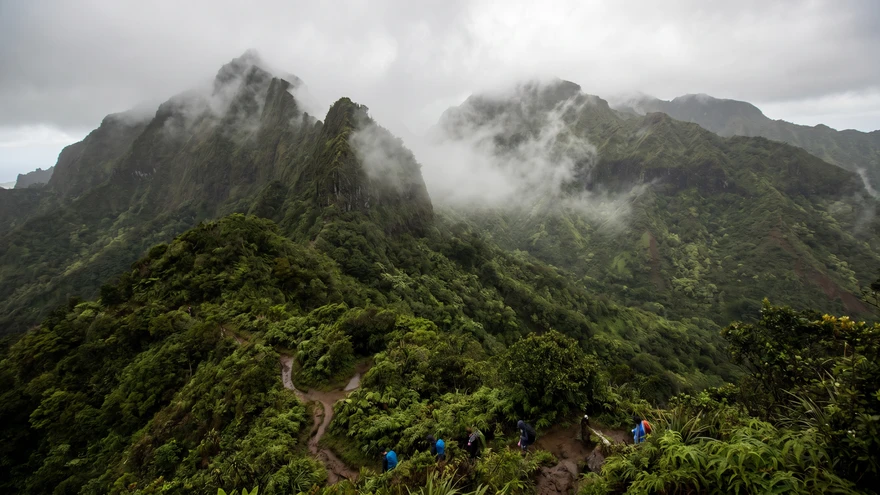
The physical geography of the region creates distinct microclimates. St. Vincent features a massive active volcano, La Soufrière, rising over 1,200 meters into the atmosphere, and hiking to its summit crater remains one of the most rewarding day trips on the main island. These high peaks trap passing trade winds, causing heavy rainfall and generating lush interior rainforests and dramatic waterfalls.
The Grenadines present a completely different environment. Islands like Bequia, the exclusive retreat of Mustique, and the Tobago Cays are low-lying coral formations. They lack high elevation to catch passing clouds. While St. Vincent experiences a heavy afternoon downpour, the southern cays often remain perfectly dry and sunny.
The Dry Season (December to April): Peak Weather and Sailing Conditions
Winter brings the most predictable weather patterns across the islands. Expect daily highs around 28°C accompanied by constant, cooling trade winds. Underwater visibility peaks during these months, making it the ideal window for snorkeling and diving in the Tobago Cays Marine Park.
This optimal weather triggers the peak tourist season. Accommodation rates reach their highest points, and popular anchorages fill quickly with yachts. If you plan to attend the famous Bequia Easter Regatta, securing boat charters and lodging in Bequia months in advance is mandatory.
The Shoulder Season (May): The Sweet Spot for Savvy Travelers
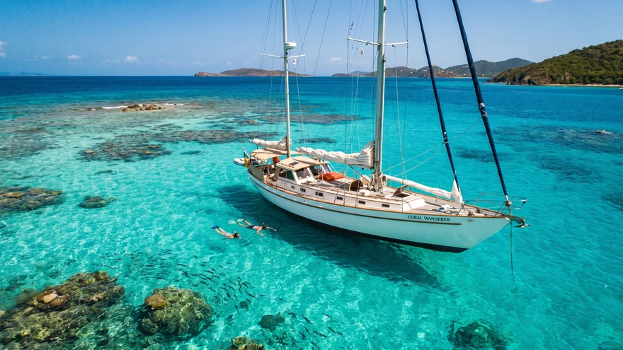
May functions as a brief transition period that offers exceptional value. The winter crowds depart, resulting in immediate price drops for boutique hotels and villa rentals. Trade winds remain strong enough to keep humidity levels comfortable.
Rainfall starts to tick upward slightly, but mostly as brief showers. It rarely disrupts full-day sailing itineraries. Navigating the waters becomes a much more tranquil experience during this month.
The Rainy and Hurricane Season (June to November): Risk Assessment
The official Caribbean hurricane season spans from June to November. St. Vincent and the Grenadines sit near the southern edge of the traditional hurricane belt, meaning direct hits occur less frequently than in the northern islands. However, the risk intensifies significantly between August and October.
Tropical waves bring heavy downpours, locally known as liquid sunshine. These storms are typically intense but short-lived along the coasts. Mountainous roads on the main island can face visibility issues during these events.
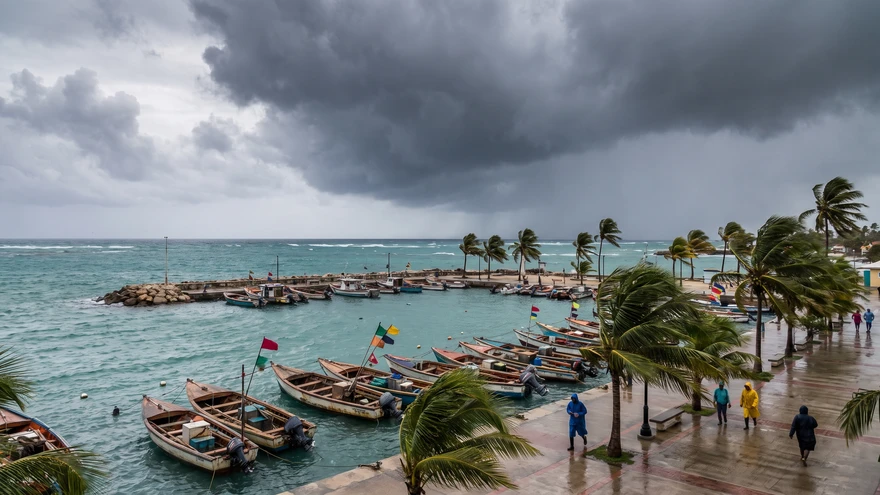
Sea conditions also turn unpredictable during late summer. Rough swells occasionally disrupt the daily ferry service between Kingstown and Port Elizabeth, one of several routes used for island hopping the Grenadines by ferry. Travelers who visit during late June or early July encounter the peak buildup to Vincy Mas, the nation's biggest cultural festival, when ferry schedules tighten and Kingstown accommodation books up fast.